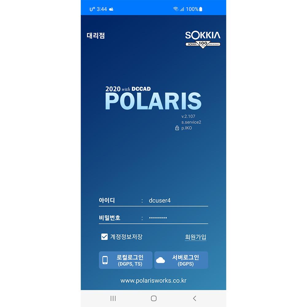
modern terminal S/W POLARIS
-
Payment
OT , WK
-
MOQ
Negotiable
-
Country of sale
World Wide
-
PRICE
-
EXW
Depend on quantity
-
ITEM SPECIFICS
-
Brand
Model ANPOLARIS
-
origin
Republic of Korea
-
Size(Capacity)
1ea ( License file )
-
Function
Professional Surveying Software
-
Features
TOPCON , SOKKIA GNSS Equipment Compatibility
-
age-appropriate
All ages
PRODUCT DESCRIPTION
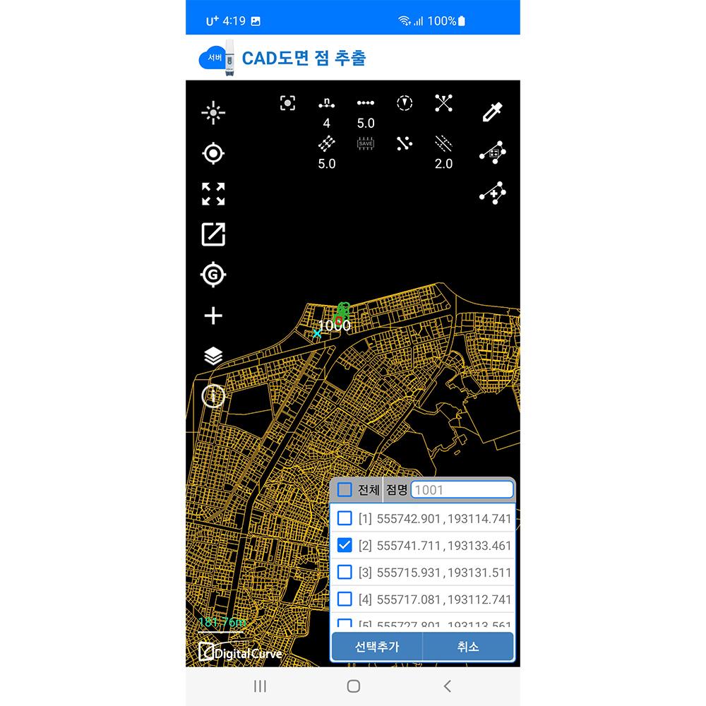
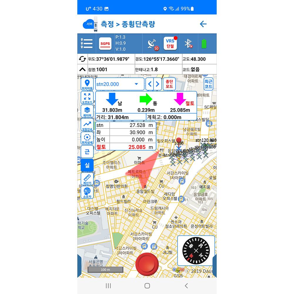
POLARIS is a modern terminal S/W that uses DGPS and the latest RTK to improve pre-modern work methods in the high value-added survey/design stage by utilizing high-precision precision surveying technology and GIS technology, and improves inconvenient surveying terminals and services at road/railway/construction sites. It is a license-based program with high usability and is a commercialized S/W based on the latest technology that has secured sales channels through partnerships with equipment manufacturers.
- High-precision surveying support service platform development function list (3~4 patents applied)
- Various geoid model application functions for precision elevation surveying - Map matching function for online maps and DXF design drawings
- Openx-layer, Geoserver development technology, batch coordinate conversion function provided - DXF parser development, Format Converter development
- DXF creation and editing functions, RTK - VRS, FKP support functions
R&D CERTIFICATE
-
- Certificate of Software Quality
- Telecommunications Technology Association
- 2020.09.07
- 인증서보기
PATENT CERTIFICATE
-
- 10-1967587
- Method and apparatus for generating survey data
- 인증서보기
PAYMENTS DETAILS
This supplier supports payments for offline orders
- WK
- OT
- Name : lee hong jun
SHIPPING
Shipping from :
Republic of Korea
- 37 Eunpyeong-ro, Eunpyeong-gu, Seoul (03423)
digitalcurve. LTD
The person in charge
Lee Hong JunAddress
37 Eunpyeong-ro, Eunpyeong-gu, Seoul (03423)
POLARIS
digitalcurve. LTD
Introduction
Digitalcurve.Inc. provides a technological foundation for creating new business revenues by utilizing high-precision measurement platforms, artificial intelligence image processing technology, precision measuring equipment technology, and large-capacity mobile service platforms among various IT fields, and is getting closer to the venture myth step by step through new technology development. We will achieve technological innovation and growth through continuous new technology development and internalization of core technologies.
-
- Business Type :
- Knowledge Service
-
- Main Product :
- POLARISSurveying, SPEARMINT
-
- Established :
- 2010-10-14
-
- Total Annual Revenue :
- 6 million to 10 billion (KRW)
-
- Total Employees :
- 5~10 people
R&D CERTIFICATE
-
- Certificate of Software Quality
- Telecommunications Technology Association
- 2020.09.07
- 인증서보기
COMPANY ENVIRONMENT

Please suggest a variety of your ideas such as design, impact, enhancements, etc
Captcha Required
Please enter the text on the left image to prevent automatic input.
0 / 4000
질문이 없습니다.
CUSTOMER REVIEWS (0)

TRADE EXPERIENCE
-
- Total revenue
- 6 million to 10 billion (KRW)
-
- Total export revenue (previous year in USD)
- 0
-
- Number of foreign trade employees
- 5~10 people
COMPARISON TO SIMILAR ITEMS more
- No Items
- supplier level
- MEMBER
- digitalcurve. LTD Seller's Store
- Seller's Store url
- Response Level
★ ★ ★ ★ ★

- Supplier Level
★ ★ ★ ★ ★
- Transaction Level
★ ★ ★ ★ ★
SUPPLIER BEST
- No Items